Shopping Cart
100% purchase protection | Secured PaymentNothing in cart

Drone Inspection Services
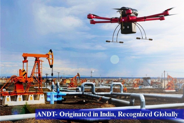
Drone inspections and surveys of structures and pipelines deliver a more efficient reliable way to inspect inaccessible areas, to eliminate human risk while keeping things operational.
Drones or UAVs (unmanned aerial vehicles) are being widely used for niche applications. But in the recent past, they have been used in various industries for repeated assessments rather than one-time use. Many plants have opted for a fixed time interval to compare the status of their equipment’s overtime. The data collected by the drones can help in making automated and smart decisions overtime and this data is even valuable in making decisions to reduce any mishaps overtime.
Mapping and inspection services for various in the field such as mobile towers, wind, and solar farms, cooling towers, power plants, power lines, nuclear power plants. While some advanced UAVs are agile and self-stabilizing to avoid obstacles at high speeds while others are obstacle avoiding which allows them to fly very close to inspection areas gathering data which never have been harnessed before without risking manpower in such critical areas.
Inspecting and assessing the confined spaces in the petrochemical industry, construction sites, and other facilities can be tedious. Rather than sending a person in unsafe and dangerous spaces a drone designed to navigate is used. It can access various confined space I a fraction of time and can get more comprehensive data without risking virtually anything.
when manual inspecting a leak with thermal imaging, it takes time and that to a lot of it for an inspector to physically examine a structure. While using a UAV can detect an area that is prone to malfunction in a fraction of time.
Aerial maps and topographic surveys. Drones can capture a photograph of a large area allowing you to identify any point of interest and get the advantage of geological data.
High-Definition cameras, LIDAR, FLIR thermal imaging systems help our API certified inspectors and trained UAV pilots provide valuable insights and personalized support for industries looking for UAV (drone) solutions.
Safely inspection of systems such as boilers, pipelines, storage tanks, power plants, pressure vessels, and equipment’s, sites while they are operational. They are also critical in the reduction of shutdown and production times. They also help in the elimination of unsafe work environments and improving safety and quality without having an adverse effect on the environment.